

Historical Photographs |
Andover, Connecticut |
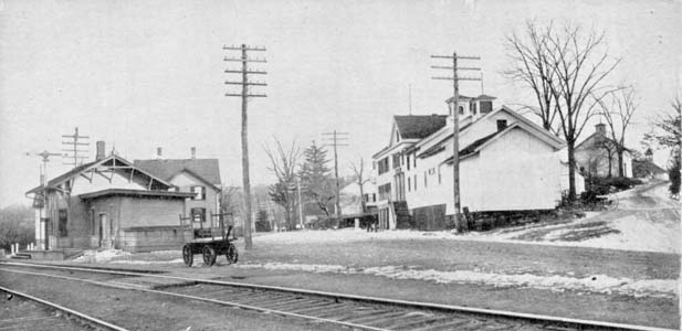
Looking southeast down what today is the lower part of Center Street. When this was taken this was Route 6. Hebron Road, now the upper portion of Centrer Street, is on the right hand side of the photograph. On the left is the RR station and at right center is the Hotel. Circa 1900 |
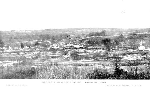
Looking down on Andover Center from Bear Swamp Road. Circa 1900 |
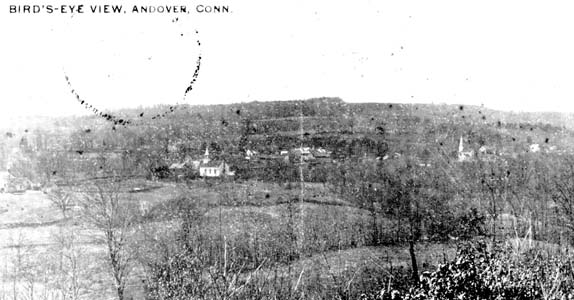
Looking down on Andover Center from Bunker Hill. The Baptist Church is near center with the Congregational Church to the right. Circa 1900 |
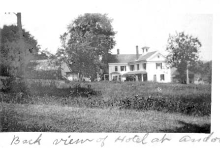
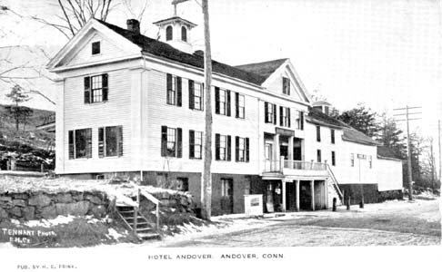
The hotel was located on Route 6, now lower Center Street. Today wo houses occupy this location. The Old Fire House, then Sacket's Store, is just out of the photograph to the left. Circa 1900 |
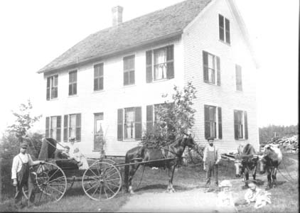
The Lindholm residence and family. |
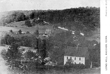
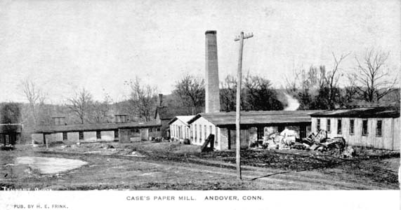
The photograph below shows the old Parsonage building (lower right) before it was moved to make room for the library building. Low left, part of the Case Fiber Board (paper mill) factory can be seen. The barn in the center is still in use today. The diagonal white line climbing the hill is Long Hill Road. Circa 1900 |
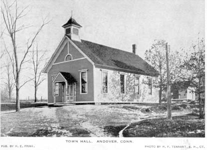
Below is a view of the Old Town Hall as it was originally built. The dinning hall that is not in the photograph as added in 1912.. Circa 1900 |
Circa 1900 |